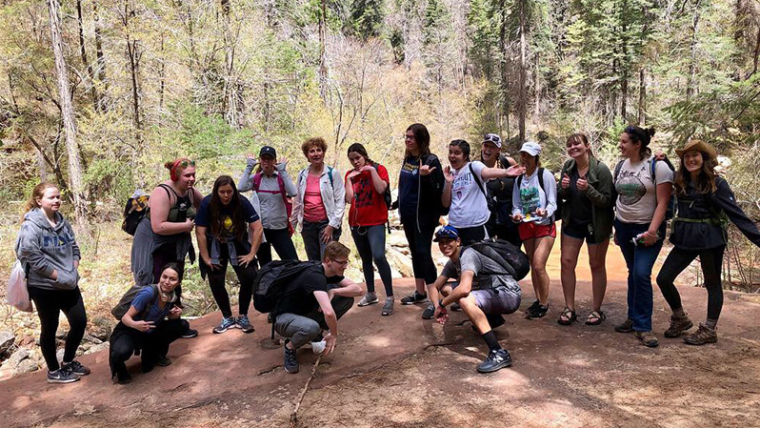
Can you say creek crossing? We had SO much fun hiking with NAU freshman along the West Fork Trail on April 17th, 2019. The enthusiasm, curiosity, and desire to become stewards for this special area was so inspiring to see from these students! The goal of this hike was to give many who hadn’t been hiking before or visited this…
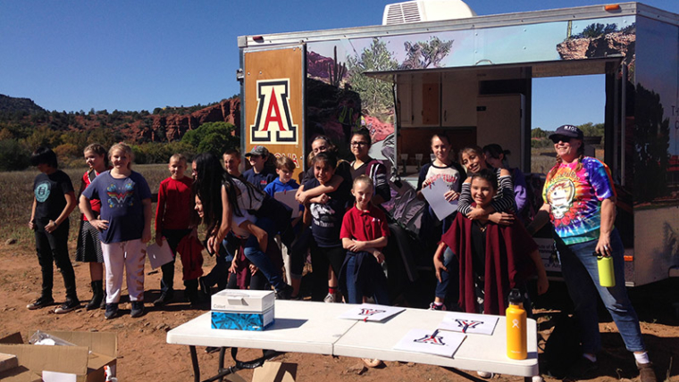
On October 23-25th 2018, Oak Creek Watershed Council hosted Verde Valley students at Red Rock State Park for Water Quality Field Days. Six middle school classes, a total of 160 Verde Valley students, attended WQFD and participated in being “Citizen Scientists” and environmental stewards for their local waterways. Oak Creek Watershed Council partnered with the UofA Cooperative Extension Mobile Water Quality Lab.…
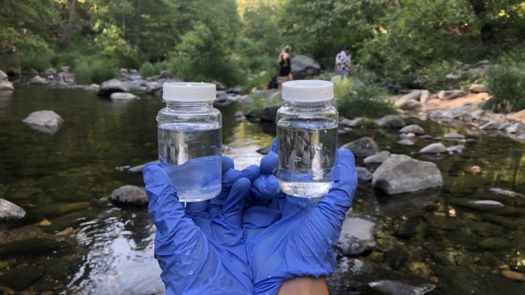
One of Oak Creek Watershed Council’s most important projects is water quality sampling. Oak Creek is one of the last remaining undisturbed riparian systems in the desert southwest and is crucial habitat to many native species, along with providing thousands of visitors every year with a place to cool off and enjoy the scenic beauty of this pocket of Northern…
There is a collective body of resources to be found among the member agencies of the Oak Creek Watershed Council. APS | website Arizona NEMO | website Arizona Department of Environmental Quality | website Arizona Department of Water Resources | website Arizona Game and Fish Department | website Arizona State Parks | website, Red Rock State Park, and Slide Rock State Park City of Sedona, Arizona | website Coconino County | website Coconino…
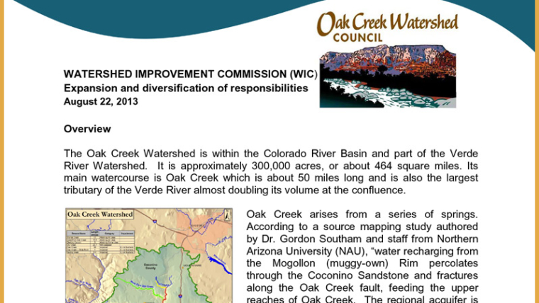
Expansion and diversification of responsibilities August 22, 2013 | PDF version HERE Overview The Oak Creek Watershed is within the Colorado River Basin and part of the Verde River Watershed. It is approximately 300,000 acres or about 464 square miles. Its main watercourse is Oak Creek which is about 50 miles long and is also the largest tributary of the Verde…
Posted June 18, 2013 The Oak Creek Watershed Council (OCWC) has completed the final version of the Oak Creek Watershed Improvement Plan (OCWIP) and it has been approved by the Arizona Department of Environmental Quality. The OCWIP is a “living” document, however, and your comments, questions, or recommendations are always welcome by sending the OCWC an email (info@oakcreekwatershed.org) or by mail at:…
Posted June 18, 2013 For your convenience, downloads related to the Oak Creek Watershed Improvement Plan (OCWIP) can be found in this article. OCWIP – Complete Download HERE Oak Creek E. coli TMDL HERE Grant Overview HERE Additional Documentation Watershed Improvement Plan Grant Manual 2008 HERE Watershed Improvement Plan Technical Guide HERE RAM Survey Form – Nutrients HERE Oak Creek Watershed Map – ADEQ HERE Oak Creek Watershed…
Encouraging Active and Broad Citizen Participation Our preferred method of encouraging active and broad citizen participation in the Watershed Improvement Coalition is to identify landowners and/or business owners as well as other key stakeholders and to contact them directly. Information on landownership on Oak Creek is readily available on Yavapai County and Coconino County GIS websites, and the major landowner…
Tasks in Developing the WIC, WIP & BMP Implementation The planning process – from developing a Watershed Improvement Coalition, and subsequent smaller decision-making group, Watershed Improvement Committee (WIC) to developing a Watershed Improvement Plan (WIP) and the implementation best management practices (BMPs) mitigating for E. coli – requires multiples tasks. As an overview of the planning process, the tasks involved begin with…
The Water Quality Improvement Grant funds will be used to identify and mitigate sources of E. coli bacteria loading within the Oak Creek watershed so that this pollutant can be removed from Arizona’s “impaired” waters list. This will be accomplished in two phases. Phase I is a year-long process that begins with the primary objective of developing a watershed improvement coalition, a…